Last checked: November 20, 2026, 8:08 a.m. Eastern Standard Time (EST, UTC−05:00; 13:08 UTC). Weather alerts may change after this check.
A Flood Watch remains in effect across parts of northeast Florida through Saturday afternoon, November 21, as the National Weather Service (NWS) warns of repeated heavy downpours, urban flooding and rising streams. The Jacksonville forecast office says widespread rainfall of 3 to 6 inches is possible in the watch area, with isolated totals as high as 12 inches. Farther south, the NWS Melbourne office identifies a high risk of excessive rainfall and dangerous flash flooding for parts of Brevard and Volusia counties on Friday, November 20. These are forecasts and alerts, not confirmation that every community will receive those totals.
The latest change is not uniform across the Atlantic coast: the NWS Miami office allowed its Flood Watch for Miami-Dade, Broward and Palm Beach counties to expire at 7 a.m. EST Friday (12:00 UTC), stating that the flash-flood threat there had ended. Elsewhere, existing river flooding and coastal hazards still require attention. Residents should check their exact address against current NWS products rather than treating the entire eastern side of Florida as one warning zone.
Destaques
Northeast Florida: Flood Watch extended through Saturday afternoon, November 21, including parts of Duval, St. Johns, Flagler, Clay and Putnam counties.
NWS Jacksonville forecasts 3–6 inches of rain across its watch area, with localized amounts up to 12 inches possible.
East-central Florida: NWS Melbourne highlights especially dangerous rainfall potential in Brevard and Volusia on Friday.
Southeast Florida: The Miami-area Flood Watch expired Friday morning; the change does not cancel separate river, coastal or beach hazards elsewhere.
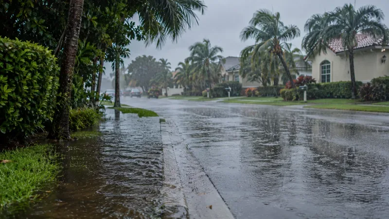
Illustration of heavy rainfall and street runoff in a Florida-style neighborhood; this is not a photograph of a verified November 2026 flood location.
Where is the Florida Flood Watch in effect on November 20?
The NWS Jacksonville Flood Watch covers specified zones in Duval, St. Johns, Flagler, Clay and Putnam counties. Communities named in the official product include Jacksonville, St. Augustine, Palm Coast, Orange Park and Palatka. The notice issued at 1:23 a.m. EST Friday says the watch continues through Saturday afternoon; the encoded end time in the alert is 2:00 p.m. EST Saturday, November 21 (19:00 UTC), unless it is updated sooner. A watch means flooding is possible, not that every location is currently underwater.
The NWS Jacksonville forecast discussion issued at 5:39 a.m. EST Friday singles out repeated downpours near the Interstate 95 corridor. It also warns that coastal flooding impacts may be greater around high tide, when rainfall runoff has more difficulty draining. The geographic distinction matters to commuters and property owners: an inland neighborhood with blocked drains faces a different exposure from a coastal road affected by tide levels.
Why are Brevard and Volusia counties at particular risk?
In its November 20 forecast discussion, the NWS Melbourne office described a high risk of excessive rainfall and dangerous flash flooding in parts of Brevard and Volusia counties, with lesser but still significant rainfall risks farther south and inland. Its outlook emphasized the Space Coast and Volusia coast, where intense rain can quickly affect roadways, canals and low-lying properties. A Flood Watch was expected to remain in place into Friday evening; readers should consult the latest local notice for the precise expiry.
Another risk is already more than a forecast. An NWS flood statement for Brevard County reported that the St. Johns River near Cocoa had risen above major flood stage following extreme rainfall in its headwaters. The statement warned that additional rain could sustain elevated river levels. River flooding can persist even when showers become lighter, because water accumulated upstream may take time to move downstream.
How much rain is forecast, and what is causing the prolonged threat?
For northeast Florida, the official Flood Watch projects widespread totals of 3 to 6 inches, with isolated totals up to 12 inches possible through the event. Those numbers describe expected rainfall over the watch area, not verified local gauges or guaranteed totals. Several rounds of rain falling on already wet ground can overwhelm small waterways and urban drainage systems, especially where rain coincides with high tide. Actual flooding will depend on where the heaviest bands develop and how fast drainage can recover between them.
The broader pattern includes a low-pressure area over southeastern Florida, the northwestern Bahamas and nearby Atlantic waters. In its early-Friday Atlantic Tropical Weather Outlook, the National Hurricane Center described disorganized showers and thunderstorms and said that the system could gain subtropical or tropical characteristics as it moves northward. At that issuance the stated chances were 30% within 48 hours and 50% within seven days. These probabilities describe possible cyclone development; they do not mean a named storm had formed or that one will necessarily form.
What has changed in Miami, Fort Lauderdale and West Palm Beach?
The NWS Miami expiry notice issued at 6:40 a.m. EST Friday said the Flood Watch affecting metro and coastal areas of Miami-Dade, Broward and Palm Beach counties would expire at 7 a.m. EST. That is a meaningful reduction in the assessed flash-flood threat in those specific zones, not an assurance that every road is dry or that other weather hazards are over. Earlier heavy rain may leave standing water in poor-drainage areas. The Miami forecast office also highlighted hazardous marine and beach conditions continuing into the weekend.
What happens next for travel, property and coastal conditions?
The immediate concern in the northeast remains the potential for renewed downpours through Saturday afternoon. In east-central Florida, the Melbourne office also warns of strong onshore winds, rough surf, beach erosion and life-threatening rip currents. Its forecast describes the possibility of large breaking waves in coastal areas, separate from inland flash flooding. Those planning travel along Interstate 95, neighborhood streets, causeways or beach approaches should check road-closure notices from local authorities and avoid routes already covered by water.
A Flood Watch is an early warning to be prepared; a Flood Warning means flooding is occurring or expected soon in the warned area. Conditions can deteriorate quickly, and warnings can be issued for only a portion of a watch zone. Never drive through floodwater or around road barricades, and do not attempt to walk across moving water. Follow evacuation or shelter directions from local emergency managers if issued. For current alerts, use the National Weather Service and its flood safety guidance; for updated storm-development information, consult the National Hurricane Center.
Frequently asked questions
Is the Flood Watch still active in Jacksonville?
Yes, in the NWS alert checked Friday morning, November 20, specified northeast Florida zones including Jacksonville remain under a Flood Watch through Saturday afternoon, November 21. Confirm your address with the latest NWS alert before traveling.
Did the Miami-area Flood Watch end?
Yes. The NWS said the watch for the specified Miami-Dade, Broward and Palm Beach zones would expire at 7:00 a.m. EST (12:00 UTC) on Friday, November 20. Other weather and coastal hazards may still apply.
Does a Flood Watch mean flooding has already happened?
No. A watch indicates that flooding is possible. However, separate Flood Warnings or flood statements can confirm flooding already underway, as with the St. Johns River near Cocoa. Check the precise product for your community.