Home
» Today
»
Snow Storm Impact: Road Risks and Travel Delays, November 12–14, 2026
Snow Storm Impact: Road Risks and Travel Delays, November 12–14, 2026
Information checked November 11, 2026, at 8:34 PM in U.S. Eastern Standard Time (EST, UTC−05:00; 01:34 UTC on November 12, 2026). U.S. travelers face several distinct winter-weather hazards heading into November 12–14, 2026. National Weather Service advisories flag accumulating lake-effect snow in Michigan’s Upper Peninsula and wet snow on higher roads in New York and Vermont, while a Sierra Nevada winter storm watch signals a more disruptive mountain travel window Friday into Saturday. The immediate decision for drivers is whether to change a departure time, use a different route, or postpone a nonessential trip.
These are forecast travel risks, not a claim that major highways or airports are already closed. Weather can vary sharply with elevation, location and the hour a storm arrives. For a road trip, an active state transportation map and the latest county-level NWS bulletin matter more than a single nationwide snow total. The NOAA Weather Prediction Center describes lake-effect snow near the Great Lakes, interior Northeast mountain snow and a stronger West Coast storm in its November 11 outlook.
Destaques
Michigan: Baraga and Marquette counties are under an advisory from 10 p.m. Wednesday, November 11, to noon Friday, November 13, EST (UTC−05:00); higher terrain could receive 4–8 inches.
New York and Vermont: Higher elevations face 2–5 inches of wet snow Thursday into Friday, with slick Thursday evening and Friday morning commutes possible.
Sierra Nevada: The Greater Lake Tahoe Area is under a winter storm watch Friday morning through Saturday morning, PST (UTC−08:00), with potentially heavy mountain snow and strong ridge winds.
Before traveling: Check official 511/road-condition services, verify airline or rail status directly and carry a winter emergency kit; a watch or forecast does not itself confirm a closure.
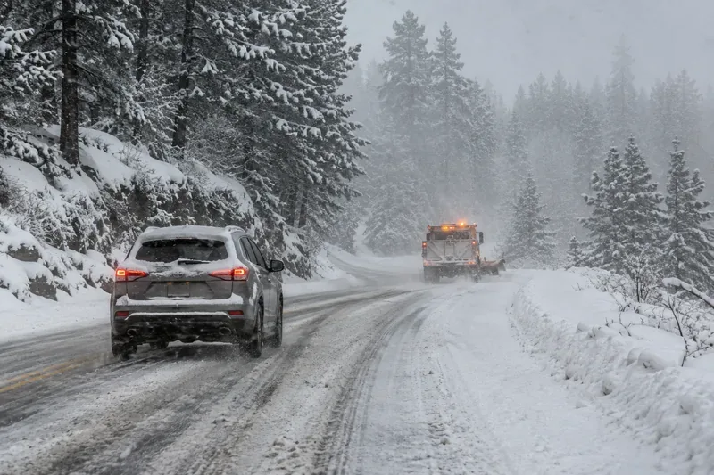
Illustrative image created for this report: a car and snowplow on a snow-covered mountain road. It does not depict a verified road closure or a scene from the November 2026 storms.
Where could snow disrupt roads and commutes on November 12–14?
Michigan’s Upper Peninsula: What roads are most vulnerable?
The NWS Marquette winter weather advisory issued at 1:47 p.m. EST on November 11 highlighted lake-effect snow for Baraga and Marquette counties. Its advisory runs from 10:00 p.m. EST November 11 (03:00 UTC November 12) to noon EST November 13 (17:00 UTC November 13). The service forecast 4–8 inches in higher elevations, with localized totals up to 10 inches in some rural areas. By contrast, it expected less than an inch along portions of the warmer Lake Superior shore.
For travelers, the advisory singles out U.S. Route 41 between Marquette and Negaunee as a corridor where conditions could worsen rapidly inland. Thursday morning and evening and Friday morning commutes are the principal concern. The NWS noted that roads may improve temporarily Thursday afternoon before worsening again around sunset as temperatures fall. Lake-effect bands can make one section of a route hazardous while another section a few miles away remains relatively clear; use actual highway reports rather than assuming the same conditions across the region.
Upstate New York and Vermont: When will wet snow affect travel?
According to the NWS Albany forecast discussion, advisories were issued for higher ground in parts of the Adirondacks, Catskills and southern Green Mountains as a developing storm brings snow Thursday, November 12, into Friday, November 13. An advisory for some higher-elevation areas runs 10:00 a.m. EST Thursday to 10:00 a.m. EST Friday (15:00 UTC November 12 to 15:00 UTC November 13), with wet snow totals of about 2–5 inches. Additional advisory areas have different starting and ending times, so drivers should check their exact county.
Wet snow could make mountain grades, shaded roads and untreated surfaces slippery. The NWS also warned of isolated power outages where heavy wet snow weighs on branches. In lower valleys, a change from rain to wet snow is possible but accumulation is more uncertain. This is not a forecast of equally heavy snow for New York City, Boston or the entire Northeast; much of the coastal system is expected to produce rain.
Lake Tahoe and the Sierra Nevada: Should Friday travel be moved?
The NWS Reno winter storm watch places the Greater Lake Tahoe Area under a winter storm watch from 10:00 a.m. PST Friday, November 13, to 10:00 a.m. PST Saturday, November 14 (18:00 UTC November 13 to 18:00 UTC November 14). The November 11 watch projects roughly 12 inches of wet snow above 7,000 feet, locally up to 20 inches along the crest west of Lake Tahoe, and up to 6 inches below 7,000 feet. Forecast ridge gusts of 70–90 mph could produce very poor visibility, while gusts around Tahoe and Truckee communities could reach 35–45 mph. These numbers are forecasts, not measured snowfall or wind gusts.
The NWS Reno travel outlook advised travelers crossing the Sierra to favor travel before the Friday storm or after conditions improve, subject to updates. Routes such as Interstate 80, U.S. 50 and U.S. 395 can face chain controls, reduced speeds, traffic holds or closures during mountain snowstorms, but the forecast alone does not establish that any specific segment is closed. Check Caltrans QuickMap immediately before driving, again en route where safe, and follow posted chain requirements. In the eastern Sierra, a separate NWS watch covers parts of the high slopes Friday afternoon through Saturday afternoon PST.
Why can a few inches of snow cause major travel delays?
Snow depth is only one factor in a dangerous trip. A burst of snow can sharply reduce visibility; wet snow may compact into slush and later freeze; strong wind can blow snow across an otherwise plowed highway. Elevated bridges and overpasses can freeze before adjacent pavement. The National Weather Service black-ice guidance notes that black ice is often hard to see and can form after melted snow refreezes overnight. Drivers should be particularly cautious during evening and pre-dawn temperature drops.
Elevation also changes the story. In the Sierra, a traveler climbing from a rainy valley to a high pass may encounter snow, chain requirements and strong crosswinds on the same trip. In the Northeast, 2–5 inches of heavy wet snow at higher elevations may be more disruptive to travel and local power lines than a similar amount of dry powder. Around Lake Superior, a narrow lake-effect band can change visibility in minutes. These differences explain why warnings apply to specific zones rather than all of a state.
What should drivers do before and during a snowstorm?
The NHTSA winter driving guide recommends postponing nonessential driving when roads are unsafe and preparing vehicles before heading into winter weather. If travel cannot wait, prioritize these practical steps:
Check the full route, not just the destination. Read NWS alerts and state 511 advisories for each pass or county on the trip; verify closures and chain controls on a state DOT site such as Caltrans QuickMap or 511NY winter road conditions map.
Check your vehicle. Inspect tire tread and pressure, wipers, winter windshield-washer fluid, battery, lights, defrosters and heating. Clear snow and ice from every window, light and the roof before departure.
Adjust driving behavior. Slow down, leave much more stopping distance, steer and brake smoothly, and avoid cruise control on slick roads. Give snowplows plenty of space and never crowd them or assume a plowed lane is ice-free.
Pack for a delay. Bring a fully charged phone and charger, warm layers and blankets, bottled water, shelf-stable food, prescription medication, a flashlight, scraper, small shovel, first-aid supplies and jumper cables. Keep fuel near full or an electric-vehicle battery sufficiently charged.
Make a backup plan. Tell someone the route and expected arrival time. Identify a safe place to stop, allow for a late arrival and avoid remote shortcuts that might not be plowed.
What if your vehicle gets stuck in snow?
Do not attempt a long walk through blowing snow or poor visibility. The National Weather Service emergency guidance generally advises staying with the vehicle and making it visible to rescuers. If it is safe to do so, clear snow away from the exhaust pipe before running the engine for short periods to warm the cabin, and open a window slightly for ventilation to reduce carbon monoxide risk. Keep warm clothing on, contact emergency services when necessary and follow instructions from local authorities. If the car is in an immediately dangerous traffic location, prioritize getting to a safe position and calling for help.
Could flights, buses and trains be delayed?
Winter storms can reduce airport visibility, require aircraft deicing, slow ground operations and delay road-based buses or station transfers. Those are possible downstream consequences of the forecast; this review did not verify a storm-specific nationwide list of canceled flights, closed airports or suspended train services. If flying, consult your airline’s flight-specific status first and use the FAA National Airport Status page for general airport conditions. For rail or intercity buses, check the operator’s service alerts and whether the roads to your station remain usable.
Avoid assuming a morning flight will be on time simply because snowfall is forecast to end before departure. Equipment and crew scheduling may be affected by earlier disruptions, and a cleared runway does not guarantee every flight operates. Conversely, an NWS winter storm watch is not an announcement that an airport has closed.
What changes should travelers watch for next?
For November 12–14, the most consequential near-term decisions are whether Michigan lake-effect bands intensify overnight, whether Thursday’s Northeast wet snow reaches lower elevations, and whether Sierra storm watches are upgraded as confidence increases. Each is a conditional forecast development rather than a completed outcome. Consult updated NWS alerts and state highway reports before every departure; the NWS explains the difference between watches, advisories and warnings in its NWS guide to watches and warnings.
Bottom line: The safest response is route-specific. Delay mountain travel when warnings or road restrictions make driving unsafe; otherwise allow extra time, use official condition reports and be prepared to stop when visibility deteriorates. Snow totals and disruption reports can change quickly, and no national travel advisory applies uniformly to every U.S. road.
Frequently asked questions
Should I drive if there is a winter storm watch?
A watch means significant winter weather is possible, not that roads have already closed. Check the local forecast and live highway restrictions; postpone nonessential trips if conditions may become dangerous.
Where can I find current road closures and chain controls?
Use your state DOT’s 511 service or traffic website. California’s Caltrans QuickMap displays active chain controls and closures; New York’s 511NY provides winter road-condition layers.
How do I know whether my flight is canceled?
Check the airline’s website or app using your flight number. FAA airport status information is general and does not replace airline-specific cancellation or delay notices.