Home
» Today
»
Met Office Confirms Sudden Stratospheric Warming as Polar Vortex Shifts | Nov. 19
Met Office Confirms Sudden Stratospheric Warming as Polar Vortex Shifts | Nov. 19
Checked: November 19, 2026, at 5:26 p.m. GMT (UTC+00:00).
The Met Office says a sudden stratospheric warming has already taken place, disrupting and displacing the polar vortex high above the Arctic. Its latest explanation, published November 18, describes an unusually strong sequence of atmospheric waves behind the event. The key point for UK residents: this is a significant development to monitor, not a prediction that a nationwide freeze or snowstorm is certain.
The agency’s November 19 outlook points to cold, frosty weather in the immediate forecast, followed by greater uncertainty as Atlantic low pressure competes with high pressure to the northeast. The Met Office says the vortex is beginning to recover, while a more easterly pattern remains only one possible outcome. Its discussion is a forecast and science update; it is not itself a severe-weather warning. Check the official warning service for alerts affecting a specific place.
Highlights
The Met Office says an SSW has occurred; this is no longer just a possible developing event.
A wave-two disturbance in late October and a wave-one event in November pushed and displaced the vortex.
The polar vortex is showing signs of recovery, with westerly winds strengthening again.
The SSW may shift UK weather probabilities in coming weeks, but it does not guarantee cold, snow, or disruption.
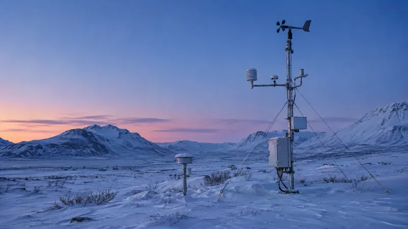
Illustrative image of a weather station in a polar landscape; it does not depict the specific stratospheric warming event.
What has the Met Office confirmed about the polar vortex?
In its November 18 analysis, the Met Office said an SSW had taken place and disrupted the stratospheric polar vortex at roughly 30 kilometers above the surface. The vortex is a circulation of strong westerly winds around very cold air above the North Pole. An SSW occurs when atmospheric wave activity weakens those winds and rapidly warms the stratosphere; in major events, the winds can reverse.
The Met Office traced this event to a sequence of planetary waves. Toward the end of October, a strong wave-two pattern squeezed and weakened the vortex. A wave-one event during November then appears to have pushed it farther from the North Pole. The Met Office says its analysis of ECMWF reanalysis data found the wave-two event particularly strong compared with similar events this early in the season in a record extending back to the 1940s. This is the agency’s analysis of the event, not a claim that a specific surface-weather outcome is now certain.
Does the sudden stratospheric warming mean a UK big freeze?
No. The Met Office emphasizes that the SSW changes the odds of certain weather patterns; it does not determine the UK forecast on its own. Effects from the stratosphere can take around two to six weeks to work down toward the lower atmosphere, and that connection is uncertain. The cold conditions already affecting parts of the UK in mid-November are not being attributed to the SSW by the Met Office.
For the near term, the Met Office’s November 19 ten-day outlook described colder Arctic air spreading south, with frost and a potentially sharp frost in parts of Scotland overnight Friday into Saturday. It also said Atlantic weather systems may encounter high pressure building toward Scandinavia. That could make the forecast more complicated from Sunday onward. Some model solutions favor a colder easterly flow late in November, while others bring wetter Atlantic weather farther east.
The Met Office put the signal for a more easterly pattern at roughly 30–50 percent in its November 19 outlook. That range is a model-based estimate, not a probability of snow at any particular town or a warning that disruption will occur. The agency also notes that cold air alone does not guarantee snow: precipitation, temperatures through the atmosphere, and local conditions must align.
Why is this event unusual, and what could happen next?
The timing and strength of the wave activity make the event notable. A major stratospheric disturbance this early in the season is less typical than events studied later in winter. The Met Office says the polar vortex is now beginning to recover and its westerly winds are strengthening. Some longer-range model members indicate the winds might weaken again later in December, but the agency describes that possibility as highly uncertain.
If the disruption works downward and helps establish blocking high pressure over the North Atlantic or Scandinavia, the jet stream could become more meandering. That can open a route for colder air to reach parts of the UK. The exact location and duration would depend on the evolving pressure pattern and other influences, including Atlantic systems. A different pattern could leave the UK milder or wetter. The stratospheric signal therefore deserves attention, but it cannot replace short-range forecasts for decisions about a particular journey or area.
For practical planning, use the Met Office’s local forecast and National Severe Weather Warning Service rather than social posts that translate “polar vortex” into a fixed date for snow. If a cold-weather warning is issued, follow the advice for the affected area. Until then, the confirmed news is the unusual stratospheric event and the evolving forecast—not a confirmed nationwide “freeze alert.”
Yes. The Met Office said on November 18, 2026, that an SSW had taken place and disrupted the polar vortex.
Will it bring snow to the UK?
Not necessarily. The SSW may change the chances of colder patterns, but snow depends on several factors and is not guaranteed.
Is the Met Office issuing a severe-weather warning for the polar vortex?
The SSW discussion is a science and forecast update, not itself a severe-weather warning. Check the official warnings page for alerts in your location.