Beyond BMI: Practical UK Health Measures for 2026
BMI is only one part of the picture. See how UK adults can use waist-to-height ratio, clinical checks and body composition measures to discuss health risks.
Last checked: November 11, 2026, at 8:03 p.m. UTC.
A rare reversal of winds high above the Arctic has put the polar vortex in the headlines, but it does not mean a deep freeze is forecast across Canada. As of this check, Environment and Climate Change Canada’s alerts were regional, and its Toronto forecast called for a low near −1°C (30°F) overnight Thursday, November 12, with a chance of rain showers or flurries. Forecast guidance suggests a possible larger pattern change later in November, but where colder air might go—and whether it reaches southern Canada—is still uncertain.
Highlights
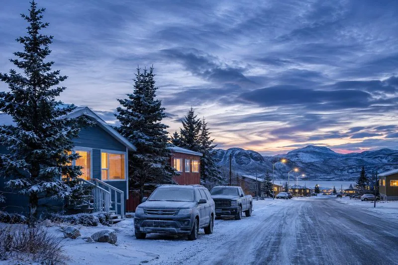
The notable development is in the stratosphere, roughly 15 to 50 kilometers above the surface, not a confirmed Arctic outbreak at ground level. A November 11 report by The Weather Network’s meteorologist Tyler Hamilton said the vortex’s west-to-east winds had reversed around November 10. The report described the reversal as historically early and said forecast models pointed to winds recovering toward normal by the third week of November.
That atmospheric signal may influence the jet stream and regional weather patterns over time, but it is not a direct forecast of freezing temperatures for every province. The same report said the broader pattern over much of central Canada remained milder than seasonal, with any possible shift late in November still uncertain. A colder pattern would depend on how circulation features develop and where Arctic air is positioned.
Canada’s 2026 climate assessment explains that the polar vortex and the jet stream are different features in different layers of the atmosphere. It also emphasizes substantial year-to-year variability and uncertainty in the surface effects of polar-vortex changes. In the weeks after sudden stratospheric warming, eastern Canada can even see warmer-than-normal patterns. That is why a headline about a vortex reversal should not be read as a province-by-province temperature warning.
Conditions vary sharply by location. Environment Canada’s national alert map showed localized alerts rather than a blanket cold warning for Canada. The snapshot included blizzard warnings around Ulukhaktok in the Northwest Territories and the Dempster region in Yukon, alongside rain and wind alerts in parts of British Columbia. Alerts can change quickly, so this list is a dated snapshot, not a guarantee that each notice remains active.
In southern Ontario, Environment Canada’s forecast issued Wednesday, November 11, put Toronto’s Thursday-night low near −1°C (30°F), with a 30 percent chance of rain showers or flurries. That forecast describes a brief local dip below freezing, not evidence of a polar-vortex-driven cold wave across the country. Drivers should watch for changing road conditions if precipitation falls as temperatures approach freezing.
Seasonal outlooks answer a different question from daily forecasts. Environment Canada’s November 1 three-month outlook gives probabilities for broad temperature patterns across November, December and January; it is not a promise about a particular night, city or storm. Use local forecasts for the next several days and the official alert map for warnings, watches and advisories in your area.
The stratospheric vortex is a circulation of strong winds around the Arctic. When it weakens or changes shape, its influence can sometimes work downward and alter the tropospheric jet stream, where day-to-day weather forms. The link is indirect and can take time. The position of ridges and troughs, the available reservoir of cold air, and other circulation patterns all affect whether a region gets colder, warmer, stormier or little change.
Environment and Climate Change Canada says cold warnings are based on local temperature and wind-chill impact levels. Thresholds differ with regional climate, and extreme cold can be dangerous even with little wind. The agency’s alert system uses warnings for severe weather that is happening or expected, advisories for significant but less severe conditions, and watches when severe weather is possible and people should prepare.
For immediate decisions, use the forecast for your own community rather than a national polar-vortex headline. Check the full alert text before traveling, especially if you are in a blizzard or winter-storm warning area. If temperatures are near freezing, allow extra time on roads and watch for slippery patches; where a cold warning is issued, follow local health guidance, dress in layers, and limit exposure. People who work or travel outdoors should plan warm breaks and check on anyone more vulnerable to cold.
Environment Canada recommends using its Weather Information map or WeatherCAN app for current forecasts and alerts. Recheck before leaving, since the timing and impact of a warning can change. The most defensible outlook right now is a close watch on the final part of November—not a confirmed nationwide deep freeze.
No nationwide freeze is confirmed. Some communities may see freezing nights or winter hazards, while current warnings are regional.
A stratospheric disturbance can influence surface patterns over subsequent weeks, but any Canadian cold outbreak, timing and location remain uncertain.
Use Environment and Climate Change Canada’s live alert map or the WeatherCAN app, and read the full alert for your forecast area.
BMI is only one part of the picture. See how UK adults can use waist-to-height ratio, clinical checks and body composition measures to discuss health risks.
BYD confirms a Great Tang wheel-rim mix-up in China. Compare 2026 SUV specs, charging and rear-wheel steering, plus what Australian EV buyers should know.
BYD’s Australian EV and plug-in hybrid range is growing. Compare charging, real-world range, warranty, prices and tax rules before you buy.
Where was the Brooklyn building collapse? What to know about 1321 Flatbush Avenue, two deaths, 17 injuries and the investigation as of November 12.
BYD’s ATTO 2 DM-i joins Australia’s lineup as the brand posts strong October sales. See its listed specs, launch offer, and what buyers should check.
Connor Wickham joins Crawley Town on a deal until early January 2027. Get the confirmed contract facts, announcement, debut goal and next fixtures.
Hunting Alice Bell premiered on Channel 4 November 11. Explore the plot, real-life inspiration, cast and how to stream the six-part UK thriller.
A building collapsed beside a construction site in Flatbush, Brooklyn. Here is the latest on the rescue, reported casualties, inspections and road closures.
The UK plans to remove EPR fees on glass bottles supplied directly to pubs from April 2027. See possible savings, risks for tenants and drink-price effects.
Connor Wickham scored on his Crawley debut, but the Reds’ 2–1 loss to Brentford U21 ended their EFL Trophy run. Here’s what his short-term signing could mean for the League Two campaign.