Home
» Today
»
UK Polar Vortex Forecast: What the November 2026 Disturbance Means for Snow
UK Polar Vortex Forecast: What the November 2026 Disturbance Means for Snow
Information checked: November 05, 2026, 01:07 UTC. The stratospheric polar vortex above the Arctic is being disturbed, and the Met Office says signs of a sudden stratospheric warming may be developing. That can increase the chances of colder weather in the UK later, but it does not establish that a cold spell or widespread snow is imminent.
In its November 4 assessment, the UK forecaster said there was still uncertainty over whether the disruption would become a major sudden stratospheric warming. Even if it does, the effects on weather near the ground depend on how atmospheric patterns evolve over the following weeks. See the Met Office's Arctic weather analysis.
Destaques
The polar vortex is disturbed and unusually stretched for the time of year, the Met Office says.
A major sudden stratospheric warming is possible, but has not been confirmed in the cited assessment.
Such an event can raise the chance of later UK cold; it does not guarantee snow or determine where snow would fall.
For practical decisions, use the latest local Met Office forecast and any warnings, which can change.
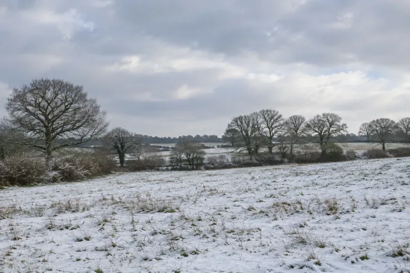
Illustration of a winter landscape, not a photograph of current UK weather.
What is the current UK polar vortex forecast?
The Met Office reported on November 4 that the high-altitude circulation around the Arctic had been stretched and was expected to become more displaced. Some model scenarios suggested the usually westerly winds could briefly reverse, a possible feature of a major sudden stratospheric warming. The forecaster emphasized that the expected reversal could be weak and short-lived and that the event itself remained uncertain.
This distinction matters. A model scenario is one possible future, not an observed result. Even if the threshold for a major warming is met, the next question is whether the disturbance influences the lower atmosphere where ordinary weather systems develop. A change high above the Arctic does not by itself specify a snow date for London, Manchester, Cardiff, Belfast or any other location.
The Met Office's long-range outlook describes broad probabilities rather than a town-by-town snow forecast. In the version checked, it mentioned a possible period of milder, wetter weather in the south during November 9-18, followed by a highly uncertain chance of colder air from the north and brief wintry showers in northern areas. Forecast details are updated and may change.
What is the polar vortex, and why can it change?
The stratospheric polar vortex is a circulation of strong winds high above the Arctic that becomes prominent during the colder, darker months. As the polar region cools relative to lower latitudes, westerly winds strengthen around it. It is a normal atmospheric feature, not a storm suddenly traveling to Britain.
Large waves in the atmosphere below can travel upward and disturb the circulation. Depending on the event, the vortex may stretch, shift away from the pole or split. The Met Office says the current disturbance involves unusually strong wave activity for early November.
A sudden stratospheric warming refers to a rapid rise in temperatures high in the polar stratosphere, associated with a major disruption of the circulation. This warming is occurring far above the surface. It does not mean the UK will necessarily become warmer or colder at ground level on a particular day.
Could a sudden stratospheric warming bring snow to the UK?
It could be one factor in a later cold setup, but snow requires more than a disturbed vortex. If an event occurs and its influence propagates downward, it can favor changes in the Atlantic jet stream and the development of persistent high-pressure blocks. The Met Office says this interaction can take roughly two to six weeks, and may not produce a UK cold spell at all.
The location of any blocking high is important. High pressure over Britain can bring quieter conditions, with frost or fog possible when the air is cold. A block farther north may encourage easterly winds, while a different placement can favor northerly airflow. These are possibilities, not a promise that a particular pattern will occur.
Snow also needs suitable moisture, temperatures through the atmosphere and a weather system or showers in the right place. A cold, dry pattern may bring frost without meaningful snow. Higher ground may see different conditions from nearby low-lying areas, and a small shift in the track of rain or cold air can change what reaches a town.
How does El Nino fit into the forecast?
El Nino describes an ocean-atmosphere pattern associated with unusually warm waters in parts of the tropical Pacific. The Met Office says the current event can affect large-scale atmospheric waves, which may in turn disturb the Arctic stratospheric vortex. That connection can affect the odds of a sudden stratospheric warming; it is not a direct prediction of UK snowfall.
The sequence contains several uncertain steps: tropical conditions influence atmospheric circulation; waves may disturb the vortex; the disturbance may or may not meet the major-warming threshold; and any effect near the surface depends on subsequent weather patterns. Skipping those steps turns an increased possibility into a false certainty.
The forecaster also notes that an unusually early event needs particular care because less cold air is generally available across the Northern Hemisphere than later in winter. The same high-altitude signal does not always lead to the same local result.
What should UK residents watch for next?
First, check whether the Met Office confirms a major sudden stratospheric warming or continues to describe one as a possibility. Second, follow its outlook for signs that stratospheric changes are influencing surface pressure and winds. Third, use the short-range forecast for local temperature and precipitation instead of relying on a nationwide headline.
The Met Office weather warnings page provides official warnings when issued, including their location, validity period and expected impacts. A warning is a specific forecast product; a general discussion of the polar vortex is not itself a snow or ice warning.
Forecast confidence generally decreases with lead time. Ensemble forecasts examine several plausible outcomes, so a minority of model runs showing snow weeks ahead is not equivalent to a confirmed forecast. Look for consistent updates across several days and pay attention to the stated uncertainty.
What does this mean for travel and winter planning?
For a journey in the next few days, the most useful information is the forecast for the actual route and departure time, plus transport operator updates if warnings are issued. If the trip is weeks away, treat snow maps as a broad signal at best and revisit the forecast closer to departure.
Routine winter preparation can be useful without assuming a severe event is coming. Keep track of current warnings, allow for changing forecasts, and distinguish a possible frost or northern wintry shower from a forecast of nationwide disruption. The conditions described in a long-range outlook can change as new observations become available.
FAQ
Is the polar vortex guaranteed to bring snow to the UK?
No. A disrupted vortex can increase the chance of later cold in some circumstances, but it does not guarantee snow or identify a date.
Has a major sudden stratospheric warming been confirmed?
The Met Office's November 4 assessment described signs of a developing event and uncertainty over whether it would become a major warming.
Where should I check for snow warnings?
Check the Met Office's current local forecast and official UK weather warnings for the area and time that concern you.