Home
» Today
»
El Niño Weather Updates: NOAA Forecasts Strong Event Through Early 2027 | November 16, 2026
El Niño Weather Updates: NOAA Forecasts Strong Event Through Early 2027 | November 16, 2026
Verified November 16, 2026, 9:04 a.m. UTC (4:04 a.m. EST, UTC−05:00, U.S. Eastern Time). Latest official ENSO bulletin: November 12, 2026; latest cited U.S. winter outlook: October 15, 2026.
El Niño is gaining strength across the tropical Pacific, and NOAA now expects a strong-to-very-strong event to remain likely through the January–March 2027 season. Its November 12 climate bulletin put the probability above 79%, while the chance of an event reaching a historic strength threshold was approximately 60% for the overlapping October–December and November–January periods. The stronger signal raises confidence in broad seasonal climate influences, but it cannot determine the date, location, or severity of any particular U.S. storm.
For U.S. readers, the immediate forecast implication is an increased likelihood of a warmer northern tier and a wetter southern U.S. and East Coast this winter, according to NOAA’s October 15 winter outlook. The next monthly U.S. seasonal outlook is scheduled for November 19, making it an important checkpoint for whether the regional probabilities shift.
Destaques
NOAA’s November 12 bulletin maintained an El Niño Advisory and reported intensifying Pacific warmth.
Strong-to-very-strong El Niño conditions have a greater than 79% likelihood through January–March 2027.
NOAA’s December 2026–February 2027 outlook favors above-normal temperatures in much of the northern United States and wetter conditions across the South and Eastern Seaboard.
Seasonal probabilities do not forecast individual blizzards, floods, or local snowfall totals; NOAA’s next U.S. seasonal update is scheduled for November 19.
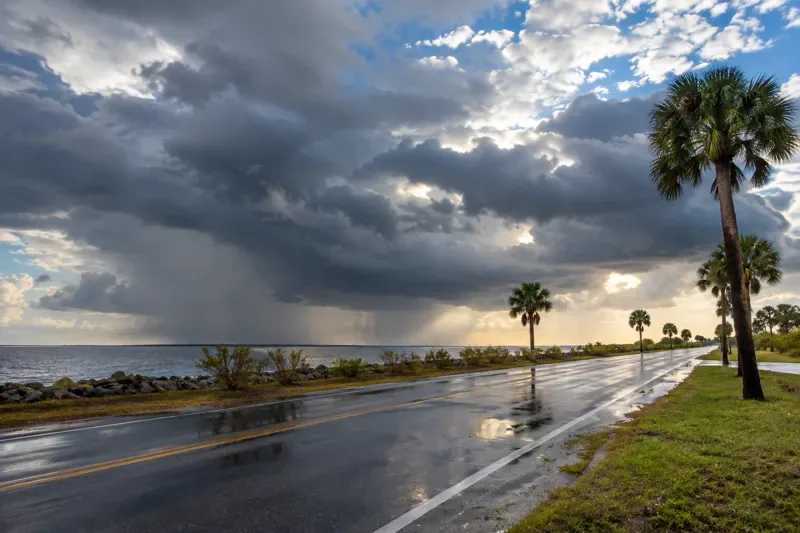
Illustrative coastal storm conditions, generated for this article. This is not documentary footage of a specific El Niño event or forecast storm.
What changed in NOAA’s November 2026 El Niño update?
The newest ENSO Diagnostic Discussion, issued November 12 by NOAA’s Climate Prediction Center, describes more extensive warming across the eastern equatorial Pacific than the preceding month. The reported Niño-3.4 sea-surface-temperature anomaly reached +2.5°C, with Niño-3 at +3.6°C and Niño-1+2 at +4.4°C. Some eastern-Pacific surface anomalies exceeded +4.0°C, while subsurface anomalies at depth exceeded +10.0°C in parts of the eastern Pacific.
The atmosphere is also behaving consistently with El Niño: NOAA observed low-level westerly wind anomalies, increased tropical rainfall and convection over the central-to-eastern Pacific, and suppressed convection near Indonesia. Those coupled ocean-and-atmosphere signals help forecasters distinguish a developing climate event from a brief, localized warming episode.
There is a useful qualification in the month-to-month comparison. NOAA’s October discussion had estimated an 83%-plus probability of strong-to-very-strong conditions through January–March 2027, compared with more than 79% in November. Thus, observed warming strengthened even though the stated probability for that particular strength category decreased slightly. Likewise, an extreme historical-strength outcome remains possible, not assured.
What do recent climate models predict for winter 2026–27?
NOAA’s official ENSO outlook combines observations with guidance from multiple models rather than relying on one computer simulation. The November outlook indicates continued strengthening before El Niño begins weakening in early 2027. The October 19 Columbia Climate School/IRI model plume, based on 27 dynamical and statistical models, also showed broad agreement that El Niño would persist into early 2027, although the magnitude and timing of its peak differed among models.
Model averages and Niño-3.4 anomaly values should not be mistaken for actual air-temperature forecasts in American cities. They describe the tropical Pacific ocean state. Forecasters use that information alongside atmospheric circulation, long-term trends, soil moisture, and shorter-range guidance to estimate seasonal temperature and precipitation probabilities.
Model skill also generally declines farther into the future. Agreement is strongest for the already-established El Niño and its persistence into the winter; confidence is lower for the exact spring transition and for specific regional storms.
Which U.S. regions may feel the biggest weather impacts?
Will the South and East Coast be wetter this winter?
NOAA’s winter outlook for December 2026 through February 2027 favors wetter-than-average conditions across the southern United States, from California toward Florida, and along the Eastern Seaboard. An El Niño-influenced shift in the jet stream can steer more storm systems into the southern tier. However, above-normal seasonal precipitation can arrive through several moderate events or a handful of intense storms, and the seasonal forecast does not specify which outcome will occur.
Will the northern United States have a warm winter?
Warmer-than-average seasonal temperatures are favored across much of the northern United States. That does not rule out Arctic cold snaps, snowstorms, or dangerous ice episodes. A three-month average can finish above normal despite several severe winter weather outbreaks. Forecasts for individual cold fronts and snowfall totals require much shorter-range information.
What about drought and flooding risks?
NOAA’s October outlook anticipated drought improvement across much of the country, including parts of the East, Southern Great Plains, and Southwest. Additional rain can benefit water supplies, but saturated ground and concentrated precipitation can also heighten flood susceptibility in some places. Neither outcome is guaranteed by El Niño alone. Residents should follow location-specific river forecasts, local National Weather Service warnings, and updated drought assessments.
How should readers interpret El Niño probabilities?
An El Niño advisory means the ocean–atmosphere pattern is underway; a 79%-plus chance of a strong-to-very-strong phase means forecasters favor that category during a future three-month interval. Neither number means there is a 79% chance of flooding, a 79% chance of snow, or a 79% chance that a named city will experience above-normal temperatures.
The practical distinction is between climate outlooks, which assess categories over months, and weather forecasts, which target conditions at specific places and dates. The three-month winter forecast can guide broad planning, but day-to-day decisions require forecasts and alerts from the National Weather Service.
What are the next forecast dates to watch?
NOAA said its next U.S. three-month outlook would be available November 19, 2026. The Climate Prediction Center has scheduled its next ENSO Diagnostic Discussion for December 10, 2026. Both dates are publication schedules, not predicted dates for storms or temperature changes. For interim developments, NOAA publishes current tropical-Pacific monitoring and shorter-term U.S. outlooks.
Businesses and households can use the seasonal signal as one planning input, particularly when reviewing drainage, travel resilience, and heating or transportation contingencies. Local forecasts will remain essential: an unusually strong El Niño increases the likelihood of familiar large-scale patterns but does not ensure those patterns will occur in every community.
El Niño weather FAQ
Is El Niño happening now in November 2026?
Yes. NOAA’s November 12, 2026 advisory confirms ongoing, strengthening El Niño conditions in the tropical Pacific.
Will El Niño last through winter 2026–27?
NOAA considers a strong-to-very-strong event likely through January–March 2027, with a probability greater than 79%. The eventual strength and transition timing remain uncertain.
Does El Niño guarantee a wetter or warmer winter where I live?
No. It changes the odds of seasonal patterns across regions, but local precipitation, temperatures, and storm impacts can depart from the typical El Niño pattern.