Home
» Today
»
Nor’easter Preparedness: How to Track Forecasts and Plan for Travel Disruptions
Nor’easter Preparedness: How to Track Forecasts and Plan for Travel Disruptions
A nor’easter can disrupt a trip even when the storm is not producing the same hazard everywhere. Coastal flooding may affect one segment of a route, heavy rain or snow may slow another, and strong wind can create airport, rail, bridge, or ferry problems far from the storm’s center. The goal of preparedness is therefore not to predict the exact outcome. It is to make a timely decision with the best information available, then change the plan when the evidence changes.
What a useful preparedness plan should achieve
By the time you leave home—or decide not to—you should be able to answer four questions:
What hazards are expected at the origin, destination, and along the route?
During which hours is travel most exposed to snow, ice, flooding, low visibility, or strong wind?
What is the latest confirmed status of the road, flight, train, bus, ferry, or connection?
What will you do if the trip is delayed, canceled, diverted, or becomes unsafe?
A plan is working when you can make those answers quickly, your phone and backup power are ready, and another person knows where you expect to be. It needs to change when a warning expands into your route, conditions arrive earlier than expected, the carrier cancels or materially changes the trip, or the route depends on a closing bridge, exposed coastline, mountain pass, or other single point of failure.
Track the forecast in layers
Start with official weather information
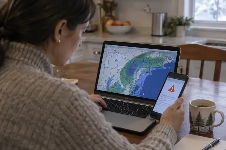
Begin with the National Weather Service explanation of nor’easters and then open the local forecast for each important location. A nor’easter is an East Coast storm whose coastal winds are typically from the northeast; the same system can bring different combinations of rain, snow, wind, rough seas, and coastal flooding across a wide area. Do not treat a single app’s icon or a single snowfall number as the complete forecast.
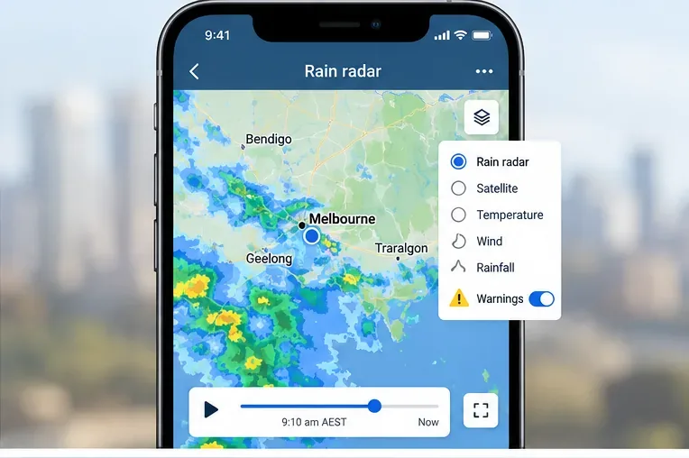
Check the NWS active alerts page, your local forecast office, radar, and the forecast discussion when available. Read the timing and hazard text, not only the map color. If you are traveling near the coast, look specifically for coastal-flooding statements and high-tide timing. If you are driving inland, look for precipitation type, icing, wind, visibility, and the temperature trend.
Use the local National Weather Service forecast and alerts as the weather baseline for your decision.
Use a forecast timeline instead of one forecast snapshot
Lead time
What to check
Decision purpose
Several days out
Storm track range, broad timing, and possible hazards
Decide whether the trip needs flexibility, refundable lodging, or a backup date.
24–48 hours
Local alerts, hourly conditions, precipitation type, wind, flooding, and likely peak impacts
Choose a departure window, route, or cancellation threshold.
6–12 hours
Radar and observations plus the actual road, airport, rail, and transit status
Confirm whether the plan still works in practice.
During travel
New alerts, visibility, road conditions, closures, and carrier messages
Continue, pause, reroute, or shelter.
Forecast confidence usually improves as the event gets closer, but local impacts can still change quickly. A forecast is not a guarantee that a particular flight will operate or that a particular road will remain open.
Verify the travel system separately
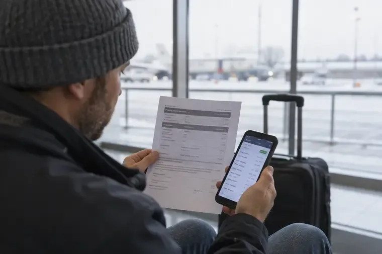
Weather information tells you what may happen in the atmosphere. It does not confirm whether your reservation, road, or connection is operating. Check the official status page or app for the airline, airport, rail operator, bus company, ferry, and local transit agency involved in your trip. If you are flying, the FAA National Airspace System status page can provide broader airspace context, but your airline remains the source for your booking and rebooking options.
For driving, follow the NWS advice to check 511 before leaving. The service is operated by each state’s transportation system, so information and phone numbers vary by state. Check both the state you are leaving and the state you are entering when the route crosses a border. A route can be technically open while still being a poor choice because of ice, poor visibility, flooding, or a closure farther ahead.
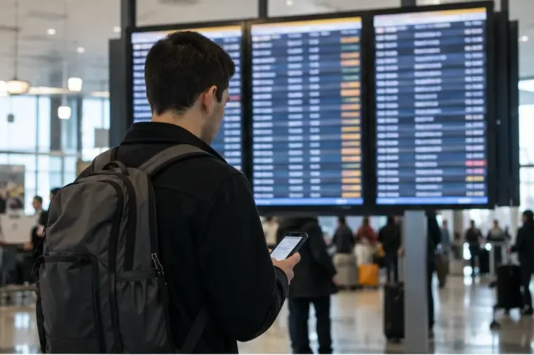
Compare the latest official travel status with the weather forecast before leaving for the airport or station.
Set decision points before the trip
Do not wait until you are already at the airport or on an icy road to decide what “too risky” means. Write down a few triggers in advance:
Delay trigger: leave later if the most hazardous period overlaps the first part of your route.
Cancel or rebook trigger: act when the carrier changes the itinerary, the destination issues a relevant warning, or the trip would require travel during a period your local officials advise avoiding.
Reroute trigger: abandon the route if 511 reports a closure, flooding, dangerous ice, or a bridge restriction.
Stop trigger: stop driving if visibility deteriorates, the road becomes uncontrolled, or you can no longer make safe progress.
The exact threshold depends on the traveler, vehicle, route, health needs, and alternatives. Someone traveling with an infant, an older adult, or a time-critical medication may need a larger safety margin. “The trip is still technically possible” is not the same as “the trip is a reasonable choice.”
Build a backup plan that names a later departure, alternate route, lodging option, and contact method.
Prepare the person, phone, and vehicle
Before leaving home
The NWS before-the-storm guidance recommends supplies for loss of power, heat, communication, or access. For a traveler, the practical version is simple:
Charge the phone and power bank; carry the charging cable and a vehicle charger if driving.
Save tickets, reservation numbers, addresses, emergency contacts, and maps for offline access.
Carry required medicines, water, food that does not need cooking, warm layers, gloves, and a flashlight.
Tell a trusted person the planned route, expected arrival, and the time you will check in.
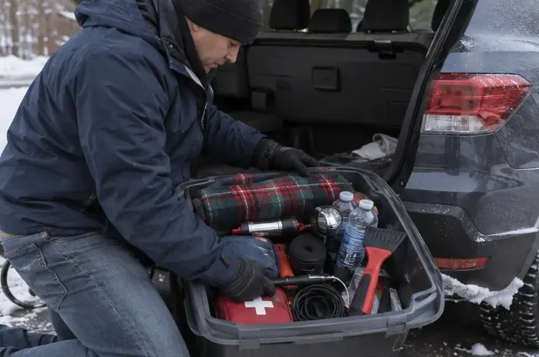
If driving, check fuel or battery range, tires, lights, wipers, washer fluid, and the emergency kit.
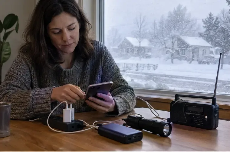
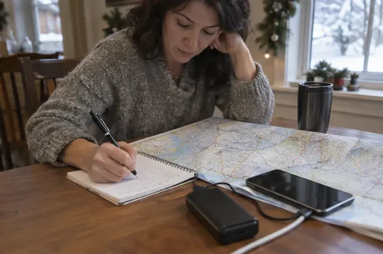
Keep a charged phone, backup power, flashlight, and a way to receive updates together before conditions worsen.A winter vehicle kit should support a delay or breakdown without relying on a working signal or open store.Write down the primary and alternate route so the plan remains usable if a phone battery or data connection fails.
Do not depend on a phone alone. NWS guidance also points to paper maps and a NOAA Weather Radio as useful backups when power, cellular service, or battery life becomes a problem. NOAA Weather Radio broadcasts official watches, warnings, forecasts, and other hazard information continuously; see the NOAA Weather Radio information page for coverage and receiver details.
What to do if travel is disrupted
Pause in a safe place. If an airport, station, hotel, or rest area is open and safe, use it to reassess rather than making a rushed move.
Confirm the new facts. Check the latest NWS alert, 511 or local transportation notice, and the carrier’s direct message.
Protect the next connection. Contact the airline, rail operator, or lodging provider before canceling related reservations. Keep screenshots and confirmation numbers.
Tell your contact person. Give the new location and next check-in time, not just “I’m delayed.”
Use a vehicle only when it remains safe. If visibility is poor or the vehicle is stuck, follow NWS winter-driving guidance: stay with the vehicle, keep the exhaust clear, and ventilate when the engine runs.
If a trip becomes unsafe, staying inside a parked vehicle and waiting for better visibility can be safer than continuing.When a journey is interrupted, reassess from a safe place and confirm the next available option before moving again.
If officials close a road, issue an evacuation instruction, or tell the public to avoid travel, follow that direction. A navigation app may continue to display a route after conditions have changed; it is not a substitute for local emergency instructions.
How to tell whether your plan is still good
Use this short check before each major move:
Check
Good sign
Change the plan when
Forecast
Timing and hazards are consistent across the local NWS forecast and recent updates.
The timing shifts onto your travel window or a warning covers a key location.
Route
511 and local transportation notices show an open, practical route.
A closure, flooding, ice, poor visibility, or a single blocked connection appears.
Carrier
Your booking remains confirmed and the operator has not issued a material change.
The trip is canceled, delayed beyond your safe window, or loses a necessary connection.
Readiness
You have power, medication, warm clothing, water, contacts, and a fallback location.
You would be stranded without a safe place, communication, or essential supplies.
Limits of forecast and travel tools
Weather models cannot remove uncertainty, especially near the coast where small track changes can alter wind, flooding, precipitation type, and travel timing. Radar shows what is happening or approaching; it does not guarantee that a road is passable. A carrier’s status can change after you check it, and a clear airport departure does not guarantee that the destination, aircraft rotation, or ground transportation will work. Use multiple official sources, record the time of each check, and build enough flexibility to act on new information.
Reviewed September 21, 2026. Forecasts, alerts, transportation schedules, and local road conditions can change; check the linked official sources again immediately before traveling.