BYD Ti 7 vs. Land Rover: Dutch Court Lifts Evidence Seizure — Nov. 12, 2026

Why is Land Rover challenging the BYD Ti 7? A Dutch court lifted seized evidence on Nov. 11, but the Defender design dispute remains unresolved.
Information checked: November 12, 2026, at approximately 5:10 p.m. Greenwich Mean Time (GMT, UTC+00:00).
The UK is facing a shift from foggy weather toward clearer, colder conditions, but the Met Office says the immediate cooling is not being caused by the polar vortex. Its November 11 analysis attributes the change to atmospheric pressure patterns and winds bringing Arctic air south. Meanwhile, an unusually strong El Niño and a disturbed polar vortex remain important signals for how winter 2026–27 could evolve—but neither establishes that snow, severe freezes or a prolonged cold spell are certain.
The distinction matters because the two phenomena operate in different parts of the climate system. El Niño begins with unusually warm ocean water and altered rainfall over the tropical Pacific; the stratospheric polar vortex is a ring of high-altitude winds around the Arctic. Their effects can interact through atmospheric waves and the jet stream, influencing the odds of different kinds of UK winter weather without determining the daily forecast.
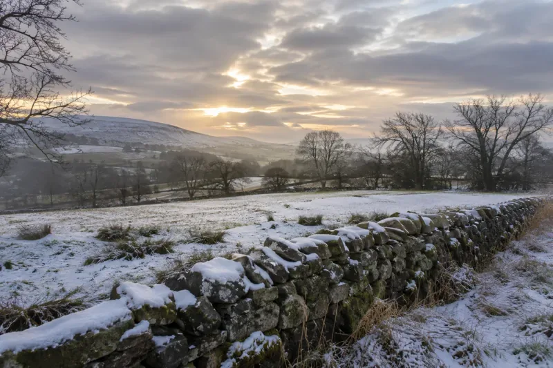
On November 4, the Met Office reported that the Arctic stratospheric vortex was unusually stretched and being disturbed by large atmospheric waves, with a possible early-season sudden stratospheric warming under discussion. By November 11, its assessment noted warming aloft and weaker vortex winds, with a brief reversal still possible. The latest assessment also suggested the disturbance might be short-lived, with the vortex moving closer to its usual state toward December. A forecast reversal should not be presented as an already confirmed major warming event.
Crucially, the Met Office distinguished this evolving high-altitude pattern from the immediate surface weather. The change from early-November fog to greater frost and ice risk was linked to changes in high pressure and the direction of incoming air. The agency explains this in its November 11 forecast analysis and puts the earlier disturbance in context in its November 4 polar-vortex briefing.
The stratospheric polar vortex is a broad circulation of strong west-to-east winds around very cold air high above the Arctic, roughly 10–50 kilometers above the surface. It typically strengthens as the Northern Hemisphere moves into winter. A strong, relatively stable vortex often accompanies a vigorous Atlantic jet stream, which can steer mild, damp and windy weather toward the UK.
When the vortex weakens, stretches, shifts or splits, effects can sometimes work downward to influence the lower atmosphere. The jet stream may become wavier, and blocking high pressure can disrupt the normal flow of Atlantic weather systems. Depending on where the blocks form, the UK may then become more exposed to cold easterly or northerly winds. This relationship is important but not automatic, as the Met Office emphasizes in its guide to the stratospheric polar vortex.
El Niño is the warm phase of the El Niño–Southern Oscillation (ENSO), a recurring interaction between sea-surface temperatures and atmospheric circulation across the tropical Pacific. Warming shifts tropical rainfall and the release of heat into the atmosphere. These changes can send large-scale waves through atmospheric circulation, altering the position and strength of storm tracks far from the Pacific.
Official UK guidance says the effects of El Niño are less direct over Britain than in parts of the Pacific basin. Historically, El Niño can tilt the UK toward a milder, windier start to winter and a greater chance of colder weather later in the season. But the North Atlantic Oscillation, existing pressure patterns, ocean temperatures and other drivers can reinforce or counteract that tendency. The Met Office’s seasonal climate-driver guidance describes these competing influences.
El Niño was already a major feature of 2026 climate monitoring. NOAA’s October ENSO discussion described a strengthening event and projected continued strong conditions into early 2027. Its next diagnostic bulletin was scheduled for November 12; a newer bulletin was not independently accessible in this review, so the October projections should not be confused with a freshly verified November assessment. See the NOAA Climate Prediction Center October discussion.
A sudden stratospheric warming, or SSW, happens when Arctic stratospheric temperatures rise rapidly as the normally strong westerly circulation weakens. In a major event, those winds reverse. Atmospheric waves generated or amplified by weather patterns lower down can travel upward and disturb the vortex.
El Niño can change tropical convection and the flow of these planetary-scale waves. That creates one physical pathway by which an El Niño winter may increase the likelihood of vortex disruption and SSW events. But El Niño does not directly push a blast of Arctic air over Britain. An SSW also does not simply release cold air that must then move across the UK: whether surface conditions change depends on how the atmosphere responds over subsequent days or weeks.
No. A weakened vortex can increase the chance of weather patterns favorable to cold outbreaks, not guarantee snow. For snowfall, temperatures must be suitable at the surface and through the atmosphere, and enough moisture must be present. Blocking pressure may leave one region cold and dry while another experiences snow showers or prolonged rain. Even an identifiable SSW can have little sustained impact in the UK, or stronger effects elsewhere in the Northern Hemisphere.
The country’s geography also matters. A northerly flow can bring wintry showers to exposed northern and coastal areas while other locations remain dry. An easterly flow can increase the potential for snow showers in eastern districts, but its outcome depends on sea temperatures and the exact track of weather systems. A broad seasonal signal cannot resolve such local differences.
One plausible scenario is that El Niño helps favor unsettled, relatively mild Atlantic weather in the early part of the winter before the odds of colder, blocked patterns increase later. Another is that Atlantic westerlies remain dominant despite stratospheric disturbances. The timing, persistence and location of any future cold spell are therefore still uncertain—not established by the November vortex observations alone.
For practical planning, follow the Met Office’s updated UK forecasts and warnings for travel disruption, frost, ice and snowfall, rather than interpreting a dramatic polar-vortex headline as a location-specific warning. Seasonal outlooks offer probabilities; forecasts for the next several days offer much more useful detail for decisions about roads, outdoor work, school travel and heating.
No. El Niño is a coupled ocean-and-atmosphere pattern in the tropical Pacific. The stratospheric polar vortex is a circulation of winds high above the Arctic.
It can increase the likelihood of some colder late-winter patterns, even though early-winter conditions may tend to be milder and wetter. It does not guarantee a cold winter.
According to the Met Office’s November 11, 2026 analysis, no. It attributed the immediate cooling to lower-atmosphere pressure and wind changes, while continuing to monitor the vortex for possible later effects.
Why is Land Rover challenging the BYD Ti 7? A Dutch court lifted seized evidence on Nov. 11, but the Defender design dispute remains unresolved.
Ghana and Somalia are in Group C of AFCON 2027 qualifying. Here’s how the six-match group stage, points, tiebreakers, and qualification places work.
How do El Niño and the polar vortex affect UK winter weather? The Met Office explains November’s cold shift, snow risks and what remains uncertain.
The M5 near Taunton has overnight closures and a 50 mph, two-lane restriction. Check official updates and diversion details before setting off.
Understand UK winter weather warning colours, likely travel and home impacts, and practical steps to prepare for snow, ice, and severe cold.
Türkiye hosts Belgium on Nov. 12, 2026, at 8 p.m. in İzmir (noon EST). Check the UEFA Nations League kickoff and U.S. viewing options on FS1 and ViX.
Tim Cook is trending after a remark linking him to Nvidia’s leadership. Here’s what is confirmed about Apple and Nvidia’s AI and chip relationship.
Morgan Wallen’s Last Time I Checked Tour is confirmed for 2027. Find the official presale schedule, registration deadline, ticket links, and safe ways to check dates.
See how payroll taxes fund Social Security, what the 2026 Trustees forecast for reserves means, and which practical steps workers can take now.
The 2026 Trustees Report projects the Social Security retirement and survivor fund could be depleted in late 2032. Here is what that means for benefits and what it does not mean.