How to Use the BoM Melbourne Radar Before You Travel
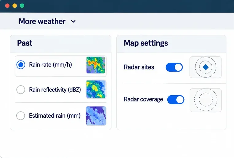
Use the Bureau of Meteorology’s Melbourne radar to locate your route, read rain layers, track approaching echoes, and check warnings before departure.
Start with Queensland’s live warnings, then check the Bureau of Meteorology (BoM), your local council, and road closures. Flash flooding can develop quickly and affect only a few streets, so a warning elsewhere does not tell you what is happening at your address—and no alert on your phone is not proof that a route is safe. If anyone is in immediate danger, call 000. For non-life-threatening storm or flood assistance, call the State Emergency Service (SES) on 132 500.
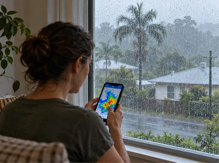
Two different warning terms can sound similar. A BoM Flood Watch is early advice that riverine flooding may be possible in a catchment; it does not mean every property will flood or that flooding is already happening. A BoM Flood Warning gives more targeted information about expected or occurring river flooding. For flash flooding, which can rise rapidly in local creeks, streets, and drainage channels, a BoM severe weather warning may be the more relevant alert. Check both the hazard and the named area.
Queensland also uses the Australian Warning System’s action levels. They describe what people should do, rather than naming a particular flood product:
“Flood Watch” and “Watch and Act” are not interchangeable. Read the full message and follow its location-specific call to action. See Queensland’s warning levels and actions guide.
Queensland may issue an Emergency Alert voice call to landlines or a text message to mobile phones in an affected area. Delivery can depend on factors such as the phone’s location and service, so not every person will necessarily receive a message. A warning can also change while you are asleep, driving, or away from home. Keep official warning pages bookmarked, enable emergency notifications where available, and use local radio or council channels as another source. Do not wait for a text if you can see water rising or receive an evacuation instruction.
Queensland advises residents to save the official Emergency Alert sender, +61 444 444 444, in their contacts so the message is easier to recognize. Details and contact options are listed on the state’s emergency contacts page.
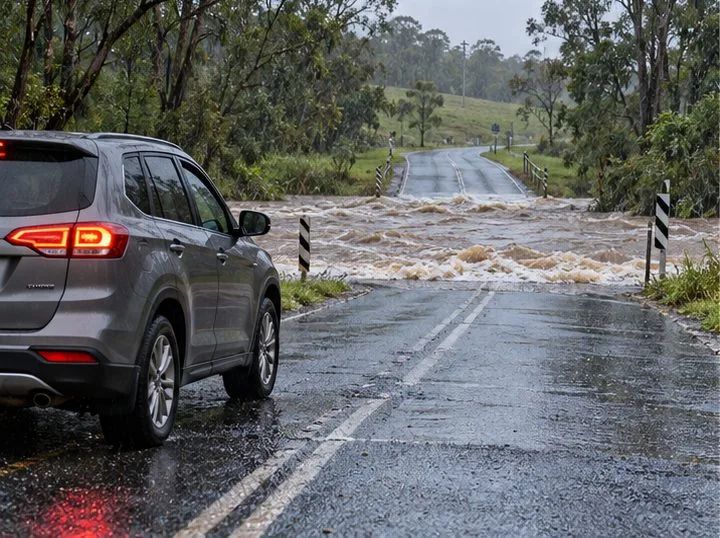
Never drive, ride, walk, or swim through floodwater. It can hide a washed-out road, debris, drains, or fast-moving water, and its depth is difficult to judge. If water covers a road, bridge, or low crossing, stop before it and turn around. Do not move a barrier or follow another vehicle through. Queensland’s floodwater safety guidance explains why even apparently shallow water can sweep a vehicle away.
Keep away from creek banks, culverts, storm drains, and low-lying underpasses. If officials tell your area to evacuate, leave early using a route they identify as safe; do not wait until water reaches your street. If an alert tells you to shelter or move to higher ground instead, follow that instruction. Conditions differ by location, and a route that is safe for one neighborhood may be cut off in another.
Illustrative example only: Imagine a household on a low-lying street beside an unnamed creek in Queensland. Heavy rain starts overnight. One adult checks the Queensland warnings map, opens the full local warning, then checks BoM severe weather information and the council dashboard. A Watch and Act notice says the creek may rise and tells residents to prepare to leave. The household reviews the council flood map, charges phones, gathers medication and keys, and checks QLDTraffic before choosing a route. If an official evacuation direction follows, they leave while the route is still open. If water crosses the road first, they do not attempt to drive through it; they follow the latest emergency instructions and call 000 if someone is in immediate danger.
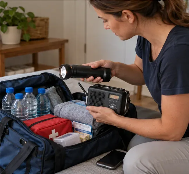
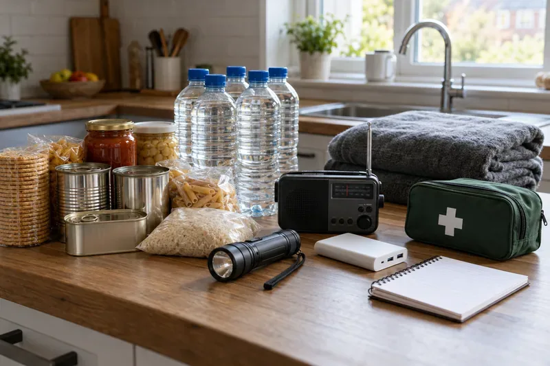
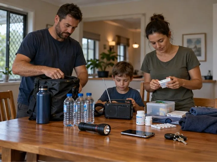
The example does not predict what will happen in any particular suburb. Before storm season, identify whether your home, workplace, or regular route is near a creek, drainage channel, or low crossing. Save your council’s warning page, learn the higher-ground options, and keep a small supply of water, medications, a flashlight, phone charger, and essential documents ready. For broader household planning, use Queensland’s flood preparation and safety information.
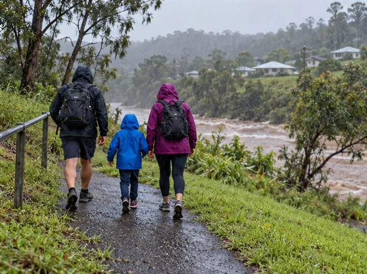
Use the Bureau of Meteorology’s Melbourne radar to locate your route, read rain layers, track approaching echoes, and check warnings before departure.
A practical Queensland flood guide: check BoM radar, read warnings, verify local roads and council updates, and know what to do if conditions worsen.
Two poultry cases have been confirmed in Great Britain this season. Here is what UK residents, bird keepers, and consumers need to know about health risks, reporting, and food safety.
The UK’s Be Ready campaign recommends three days of emergency essentials. Learn why it launched, what to keep at home, and how to prepare without panic buying.
DVLA’s October warning does not mean new tests have started. Learn the current age-70 renewal rules, eyesight and medical checks, and what remains a proposal.
Get the Iowa vs. Minnesota game guide: Oct. 24 kickoff in Minneapolis, CDT and UTC times, Huntington Bank Stadium, FS1, FOX One, radio, and Floyd of Rosedale storylines.
Tennessee visits South Carolina on Oct. 24 at Williams-Brice Stadium. Check the 3:30 p.m. EDT kickoff, ESPN coverage, key players and game-day basics.
Texas A&M vs. Alabama is set for Saturday, October 24, at 2:30 p.m. CDT (UTC−05:00). Find the ABC broadcast, ESPN app, official live stats, and radio options.
Learn about Daniel Stewart’s Port Adelaide career, path to the AFL, key statistics, and what the club has confirmed in its latest announcement.
Queensland Police say four people were injured in a Loganholme shooting on October 24, 2026. Review confirmed details and official update channels.