Home
» Today
»
What Is El Niño? The Pacific Weather Pattern Explained
What Is El Niño? The Pacific Weather Pattern Explained
El Niño is the warm phase of the El Niño–Southern Oscillation (ENSO), a natural climate pattern in the tropical Pacific. It develops when the central and eastern equatorial Pacific warms above average and the trade winds weaken. That changes how ocean heat and moisture enter the atmosphere, shifting seasonal weather odds around the world—not the daily forecast for a particular town.
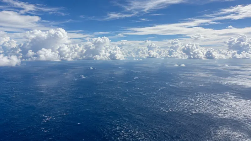
El Niño links tropical Pacific ocean temperatures with changes in winds and rainfall. This general ocean scene does not show a measured temperature anomaly or current event.
How El Niño develops
In a neutral phase, easterly trade winds push warm surface water west from the Americas toward Indonesia and Australia. Near South America, colder, nutrient-rich water rises from below in a process called upwelling.
During El Niño, trade winds slacken, warm surface water spreads east, and upwelling off South America weakens. The central and eastern tropical Pacific warms; rising air and rainfall shift eastward. Changes in tropical Pacific air pressure and winds—the Southern Oscillation—are part of the same cycle. ENSO is the name for this ocean–atmosphere pattern, which includes El Niño, cool-phase La Niña, and neutral conditions.
Scientists assess ocean temperatures alongside winds, pressure, and tropical rainfall. NOAA adopted the Relative Oceanic Niño Index (RONI) for operational monitoring in February 2026. RONI compares warming in the ENSO region with average tropical ocean warming, helping distinguish ENSO from broad background warming. A single warm reading is not enough to diagnose the whole pattern. See NOAA’s ENSO explainer and the World Meteorological Organization’s overview.
El Niño, neutral conditions, and La Niña
ENSO phase
Tropical Pacific signal
Typical circulation signal
El Niño
Warmer-than-average central and eastern waters
Weaker trade winds; rainfall shifts east
Neutral
Near-average conditions
No strong El Niño or La Niña signal
La Niña
Cooler-than-average central and eastern waters
Stronger trade winds; more warm water pushed west
El Niño and La Niña do not follow a fixed calendar. Episodes commonly last about nine to 12 months, though some last longer. The cycle returns every two to seven years on average, with neutral periods in between; timing and strength vary.
What weather patterns can change?
El Niño can shift jet streams and storm tracks. Its clearer effects are often in the tropics and nearby regions. Some episodes bring heavier rain and flood risk to parts of South America, East Africa, or the southern United States, while increasing drought risk in Indonesia, Australia, southern Africa, or parts of South Asia. The affected locations and seasons vary.
These are broad tendencies, not a global forecast template. Strength, timing, season, and other climate patterns matter, and the same phase can produce different outcomes in different years. Extreme weather can also occur when ENSO is neutral.
What the current outlook means for the UK
El Niño is in the headlines because it is strengthening. In its October 8, 2026 diagnostic, NOAA’s Climate Prediction Center said strong-to-very-strong conditions were likely through January–March 2027, with the forecast chance above 83%. This is a forecast for ENSO’s phase, not an 83% chance of a particular UK storm or cold spell. See the dated NOAA diagnostic for the forecast horizon and updates.
For the UK, El Niño’s influence is indirect and competes with other drivers. The Met Office says it can raise the odds of wetter, stormier, generally milder conditions in late autumn and early winter, but it cannot determine local weather. Its October 5 review cautioned against inferring imminent widespread UK snow or storms from El Niño alone. Use the Met Office’s UK forecast context for the seasonal signal and local forecasts and warnings for specific days.
How to read an El Niño headline
Check the date and source. Forecasts change as new ocean and atmosphere observations arrive.
Look for a region and season. A seasonal outlook shifts the odds of a pattern; it cannot identify the date, location, or severity of a particular storm.
Use local forecasts for action. Follow national weather services for flooding, wind, heat, or cold warnings rather than treating ENSO as a warning by itself.
Is El Niño caused by climate change?
No. El Niño is natural climate variability; human-caused climate change is the long-term warming trend driven mainly by greenhouse gases. The WMO says there is no evidence climate change is increasing El Niño’s frequency or intensity, though a warmer background climate can amplify some associated heat and heavy-rain impacts. The two influences can occur together, so attributing a specific event requires more than noting that El Niño is underway.
El Niño is a Pacific climate signal that can improve longer-range awareness and preparation. Its limits matter: it tilts seasonal probabilities but cannot promise a specific outcome for a specific place.