Home
» Today
»
Storm Boelo Weather Warnings: How to Check Alerts and Prepare for Monday, October 26
Storm Boelo Weather Warnings: How to Check Alerts and Prepare for Monday, October 26
Storm Boelo brought strong winds and heavy rain to parts of the UK over the weekend. If you are checking the outlook for tomorrow, Monday, October 26, start with the live warning map: when checked on Sunday, October 25, the Met Office listed no weather warnings for Monday. Its forecast still said another low-pressure system could bring wet and windy conditions, with northwestern areas most likely to be unsettled. A forecast is not a warning, and the status can change, so check again before leaving home.
A resident checks a weather app while rain falls outside.
What a Storm Boelo warning means—and what it does not
Boelo (pronounced “Boo-loh”) is the name given to this storm in the 2026–27 UK, Ireland, and Netherlands storm list. A storm is named when it has the potential to cause disruption or damage that could lead to an amber or red warning. The name helps authorities and the public refer to the same weather system; it does not mean that every town is under a warning or will experience the same conditions.
The Met Office bases warning colors on a combination of the likelihood of impacts and how serious those impacts could be. Yellow can cover different levels of risk, so read the details. Amber means impacts are more likely and could disrupt plans. Red means dangerous weather is expected and people should act to protect themselves. The practical step is to read the warning for your area, not to judge risk from the storm name or color alone.
How to check weather warnings for your area
Open the official warning map and select Monday
Go to the Met Office UK weather warnings page. Use the date tabs to select Monday, October 26, and check the map for your part of the UK. The page lists warnings by day and provides more detail when you open a warning. If it shows no warning for Monday, treat that as the status at the time you checked—not a promise that weather will be calm or that an update cannot follow.
You can also view a location forecast in the Met Office website or app. If you want alerts sent to you, the Met Office lets people subscribe to weather-warning emails by UK region. Set the regions that matter to your home, work, or travel route.
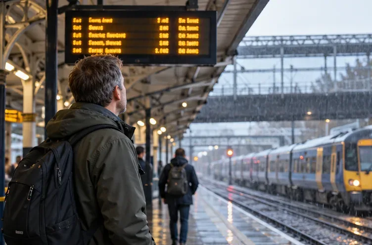
A traveler waits beside a train on a wet platform before a journey.
Read the warning details, then check your journey
For any warning that appears, verify the weather type, start and end times, affected regions and local authorities, expected impacts, and recommended action. A broad shaded area can include places with different exposure; the affected-area list is more useful than guessing from the map color. The Met Office guide explains the impact-and-likelihood information shown in warning details.
For travel, check the forecast and warning shortly before departure, then check your rail, bus, ferry, or airline operator for service updates. Severe weather can cause delays or cancellations, but a weather warning by itself does not tell you whether a specific service is running. If driving is necessary in strong winds, follow official advice, allow extra time, and use extra care around exposed roads and high-sided vehicles.
Check flood information separately
A wind warning does not tell you whether your street has a flood alert. In England, use the government’s Check for flooding service for current flood alerts and warnings, river and sea levels, and a five-day flood-risk outlook. It links to separate services for Wales, Scotland, and Northern Ireland. Surface-water flooding—sometimes called flash flooding—may require information from your local council.
If water is already covering a road or path, do not walk, cycle, or drive through it. Check the relevant flood service before traveling, especially if your route crosses low-lying areas or runs near rivers or the coast.
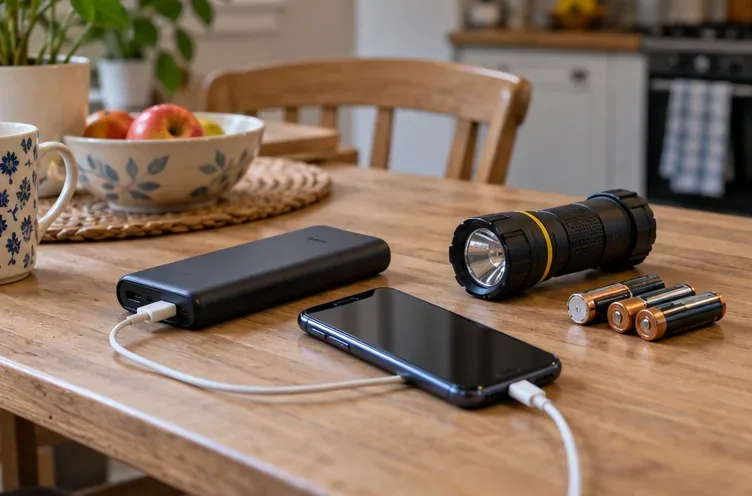
A phone, power bank, flashlight, and batteries are ready on a table.
Prepare your home and people for the conditions actually forecast
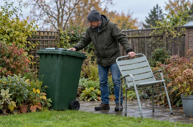
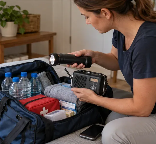
If strong winds are expected where you live, secure loose outdoor items such as bins and garden furniture. Keep a flashlight, spare batteries, and a charged phone power bank where you can find them. Check in with anyone who may need help and make a backup plan if their transport, power, or mobility depends on services that could be disrupted.
During high winds, stay indoors when possible. If you must go out, avoid standing or sheltering close to buildings and trees. On exposed coasts, large waves can sweep people off their feet even from shore; keep away from the water’s edge and follow local instructions. In an emergency on the coast, call 999 and ask for the Coastguard.
A resident secures a wheelie bin and garden chair in a backyard.
Before you set out
Refresh the warning map and your local forecast Sunday night and Monday morning. Check flood information and transport updates for your route, and follow any new advice from emergency services or local authorities.